METAR-TAF
Airports :
Christchurch International Airport
Christchurch, New Zealand
latitude: 43-29S, longitude: 172-33E, elevation: 38 m
Current weather observation
METAR: NZCH 081030Z AUTO 19013KT 160V230 1900 -RA BR OVC005/// 08/07 Q1017
Time: 23:08 (11:08 UTC)
Forecast
Broken clouds at a height of 1400 ft
Broken clouds at a height of 2000 ft
from 08 at 15 UTC to 08 at 20 UTC
from 09 at 12 UTC to 09 at 18 UTC
TAF: NZCH 081104Z 0812/0918 21010KT 6000 DZ SCT007 BKN014 FM081500 21010KT 9999 -SHRA SCT014 BKN020 TEMPO 0815/0820 6000 SHRA BKN014 TEMPO 0912/0918 6000 SHRA
Weather observations and forecasts of more than 4000 airports (METAR and TAF reports).
The available stations are represented by yellow and red dots on the map.
Hover mouse over dot to see the name of the station.
Then click to see weather observations and forecasts.
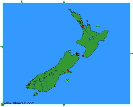
To change the map : click on the green buttons with a black cross to zoom in, on the green button with a dash to zoom out, or on the green arrows for adjacent maps.