METAR-TAF
Airports :
Augusto C. Sandino International Airport
Managua, Nicaragua
latitude: 12-09N, longitude: 086-10W, elevation: 50 m
Current weather observation
The report was made 45 minutes ago, at 22:00 UTC
Wind 12 kt from the Southeast
Temperature 32°C
Humidity 52%
Pressure 1007 hPa
Visibility 10 km or more
Scattered clouds at a height of 2000 ft
Scattered clouds at a height of 7000 ft
Scattered clouds at a height of 7000 ft
METAR: MNMG 222200Z 13012KT 9999 SCT020 SCT070 32/21 Q1007 A2974 NOSIG
Time: 16:45 (22:45 UTC)
Forecast
The report was made 19 minutes ago, at 22:26 UTC
Forecast valid from 23 at 00 UTC to 23 at 24 UTC
Wind 8 kt from the East/Northeast
Visibility 10 km or more
Scattered clouds at a height of 2000 ft
Scattered clouds at a height of 7000 ft
Scattered clouds at a height of 7000 ft
Temporary
from 23 at 03 UTC to 23 at 12 UTC
from 23 at 03 UTC to 23 at 12 UTC
Wind 8 kt from the Southeast
Visibility: 8000 m
Temporary
from 23 at 13 UTC to 23 at 18 UTC
from 23 at 13 UTC to 23 at 18 UTC
Wind 15 kt from the East
Visibility 10 km or more
Few clouds at a height of 2200 ft
Scattered clouds at a height of 30000 ft
Scattered clouds at a height of 30000 ft
TAF: MNMG 222226Z 2300/2324 07008KT 9999 SCT020 SCT070 TEMPO 2303/2312 13008KT 8000 DZ/-RA TEMPO 2313/2318 08015KT 9999 FEW022 SCT300
Weather observations and forecasts of more than 4000 airports (METAR and TAF reports).
The available stations are represented by yellow and red dots on the map.
Hover mouse over dot to see the name of the station.
Then click to see weather observations and forecasts.
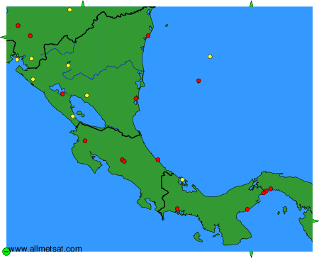
To change the map : click on the green buttons with a black cross to zoom in, on the green button with a dash to zoom out, or on the green arrows for adjacent maps.