METAR-TAF
Airports :
Scarlett Martínez International Airport
Río Hato, Panama
latitude: 08-22-33N, longitude: 080-07-40W, elevation: 105 ft
Current weather observation
The report was made 11 hours and 12 minutes ago, at 21:00 UTC
Wind 15 mph from the North, varying between Northwest and North/Northeast
Temperature 93°F
Humidity 56%
Pressure 29.71 in. Hg
Visibility: 29527 ft
Few clouds at a height of 3000 ft
METAR: MPSM 172100Z 36013KT 320V030 9000 FEW030 34/24 Q1006
Time: 03:12 (08:12 UTC)
Forecast
The report was made 14 hours and 42 minutes ago, at 17:30 UTC
Forecast valid from 17 at 18 UTC to 18 at 24 UTC
Wind 12 mph from the North/Northeast
Visibility 6.2 miles or more
Scattered clouds at a height of 2000 ft
Probability 30%
from 17 at 19 UTC to 17 at 23 UTC
from 17 at 19 UTC to 17 at 23 UTC
Visibility: 19685 ft
Scattered clouds at a height of 1600 ft, Towering cumulus.
Broken clouds at a height of 9000 ft
Broken clouds at a height of 9000 ft
rain showers
Temporary
from 18 at 08 UTC to 18 at 12 UTC
from 18 at 08 UTC to 18 at 12 UTC
Wind 2 mph from variable directions
TAF: MPSM 171730Z 1718/1824 03010KT 9999 SCT020 PROB30 1719/1723 6000 SHRA SCT016TCU BKN090 TEMPO 1808/1812 VRB02KT
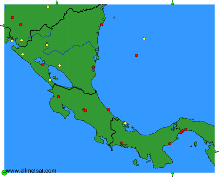
Weather observations and forecasts of more than 4000 airports (METAR and TAF reports).
The available stations are represented by yellow and red dots on the map.
Hover mouse over dot to see the name of the station.
Then click to see weather observations and forecasts.
To change the map : click on the green buttons with a black cross to zoom in, on the green button with a dash to zoom out, or on the green arrows for adjacent maps.