The report was made 1 hour and 41 minutes ago, at 17:00 UTC
Forecast valid from 01 at 18 UTC to 02 at 24 UTC
Wind 5 kt from the North/Northeast
Visibility 10 km or more
Scattered clouds at a height of 1800 ft
Probability 30% :
Temporary from 01 at 20 UTC to 01 at 24 UTC
Wind 6 kt from the South
Visibility: 6000 m
Scattered clouds at a height of 1500 ft, Cumulonimbus. Broken clouds at a height of 8000 ft
thunderstorm, rain
Temporary from 02 at 06 UTC to 02 at 10 UTC
Wind 2 kt from variable directions
Probability 40% :
Temporary from 02 at 12 UTC to 02 at 16 UTC
Wind 6 kt from the South/Southeast
Visibility: 6000 m
Scattered clouds at a height of 1500 ft, Cumulonimbus. Broken clouds at a height of 8000 ft
thunderstorm, rain
TAF: MPTO 011700Z 0118/0224 03005KT 9999 SCT018 PROB30 TEMPO 0120/0124 18006KT 6000 TSRA SCT015CB BKN080 TEMPO 0206/0210 VRB02KT PROB40 TEMPO 0212/0216 16006KT 6000 TSRA SCT015CB BKN080
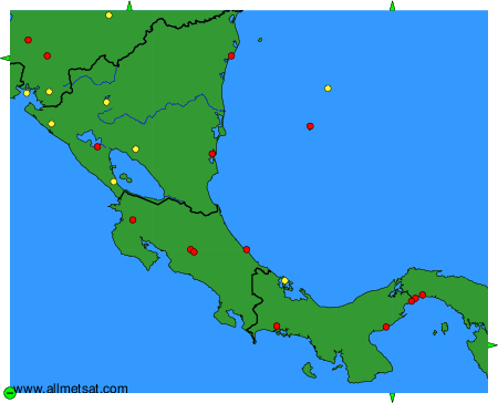
Weather observations and forecasts of more than 4000 airports (METAR and TAF reports).
The available stations are represented by yellow and red dots on the map.
Hover mouse over dot to see the name of the station.
Then click to see weather observations and forecasts.
To change the map : click on the green buttons with a black cross to zoom in, on the green button with a dash to zoom out, or on the green arrows for adjacent maps.