METAR-TAF
Airports :
Juan Santamaría International Airport
San José, Costa Rica
latitude: 10-00N, longitude: 084-13W, elevation: 920 m
Current weather observation
The report was made 1 hour and 2 minutes ago, at 14:00 UTC
Wind 17 kt from the East/Southeast
Temperature 26°C
Humidity 65%
Pressure 1016 hPa
Visibility 10 km or more
Few clouds at a height of 4000 ft
METAR: MROC 081400Z 11017KT 9999 FEW040 26/19 A2999 NOSIG
Time: 09:02 (15:02 UTC)
Forecast
The report was made 4 hours and 2 minutes ago, at 11:00 UTC
Forecast valid from 08 at 12 UTC to 09 at 12 UTC
Wind 12 kt from the East
Visibility 10 km or more
Few clouds at a height of 3500 ft
Temporary
from 08 at 12 UTC to 08 at 18 UTC
from 08 at 12 UTC to 08 at 18 UTC
Wind 17 kt from the East/Southeast with gusts up to 27 kt
Temporary
from 08 at 21 UTC to 09 at 01 UTC
from 08 at 21 UTC to 09 at 01 UTC
Wind 6 kt from the West/Southwest
TAF: MROC 081100Z 0812/0912 10012KT 9999 FEW035 TX32/0819Z TN21/0910Z TEMPO 0812/0818 11017G27KT TEMPO 0821/0901 25006KT
Weather observations and forecasts of more than 4000 airports (METAR and TAF reports).
The available stations are represented by yellow and red dots on the map.
Hover mouse over dot to see the name of the station.
Then click to see weather observations and forecasts.
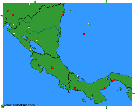
To change the map : click on the green buttons with a black cross to zoom in, on the green button with a dash to zoom out, or on the green arrows for adjacent maps.