METAR: SKSP 280800Z AUTO 07008KT CAVOK 27/26 Q1011
Time: 03:46 (08:46 UTC)
Forecast
The report was made 3 hours and 51 minutes ago, at 04:55 UTC
Forecast valid from 28 at 06 UTC to 29 at 06 UTC
Wind 12 kt from the East
Visibility 10 km or more
Scattered clouds at a height of 2000 ft
Temporary from 28 at 07 UTC to 28 at 09 UTC
Scattered clouds at a height of 1500 ft, Towering cumulus.
rain showers
Probability 40% :
Temporary from 28 at 12 UTC to 28 at 15 UTC
Broken clouds at a height of 2000 ft, Towering cumulus.
rain, drizzle
Probability 30% :
Temporary from 28 at 16 UTC to 28 at 19 UTC
Broken clouds at a height of 3000 ft, Towering cumulus.
rain showers
Temporary from 28 at 23 UTC to 29 at 01 UTC
Scattered clouds at a height of 1500 ft, Towering cumulus.
rain showers
TAF: SKSP 280455Z 2806/2906 08012KT 9999 SCT020 TEMPO 2807/2809 SHRA SCT015TCU PROB40 TEMPO 2812/2815 RADZ BKN020TCU PROB30 TEMPO 2816/2819 SHRA BKN030TCU TEMPO 2823/2901 SHRA SCT015TCU TX31/2819Z TN27/2811Z
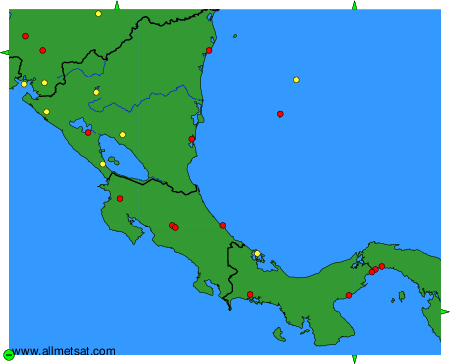
Weather observations and forecasts of more than 4000 airports (METAR and TAF reports).
The available stations are represented by yellow and red dots on the map.
Hover mouse over dot to see the name of the station.
Then click to see weather observations and forecasts.
To change the map : click on the green buttons with a black cross to zoom in, on the green button with a dash to zoom out, or on the green arrows for adjacent maps.