METAR-TAF
Airports :
Diori Hamani International Airport
Niamey, Niger
latitude: 13-29N, longitude: 002-10E, elevation: 223 m
Current weather observation
The report was made 22 minutes ago, at 21:00 UTC
Wind 4 kt from the Southwest
Temperature 32°C
Humidity 63%
Pressure 1013 hPa
Visibility 10 km or more
no clouds below 1500 m and no cumulonimbus
METAR: DRRN 242100Z 23004KT CAVOK 32/24 Q1013 NOSIG
Time: 22:22 (21:22 UTC)
Forecast
The report was made 10 hours and 22 minutes ago, at 11:00 UTC
Forecast valid from 24 at 12 UTC to 25 at 18 UTC
Wind 8 kt from the Southwest
Visibility 10 km or more
Few clouds at a height of 1600 ft
Probability 40% :
Temporary
from 24 at 14 UTC to 24 at 20 UTC
from 24 at 14 UTC to 24 at 20 UTC
Wind 25 kt from variable directions
Visibility: 3500 m
Scattered clouds at a height of 1400 ft
Few clouds at a height of 2600 ft, Cumulonimbus.
Few clouds at a height of 2600 ft, Cumulonimbus.
squalls, thunderstorm, rain
Probability 40% :
Temporary
from 25 at 02 UTC to 25 at 08 UTC
from 25 at 02 UTC to 25 at 08 UTC
Wind 25 kt from the East/Southeast with gusts up to 40 kt
Visibility: 1200 m
Broken clouds at a height of 1400 ft
Scattered clouds at a height of 2600 ft, Cumulonimbus.
Scattered clouds at a height of 2600 ft, Cumulonimbus.
squalls, Blowing dust, thunderstorm, heavy rain
TAF: DRRN 241100Z 2412/2518 22008KT 9999 FEW016 PROB40 TEMPO 2414/2420 VRB25KT 3500 SQ TSRA SCT014 FEW026CB PROB40 TEMPO 2502/2508 11025G40KT 1200 SQ BLDU +TSRA BKN014 SCT026CB
Weather observations and forecasts of more than 4000 airports (METAR and TAF reports).
The available stations are represented by yellow and red dots on the map.
Hover mouse over dot to see the name of the station.
Then click to see weather observations and forecasts.
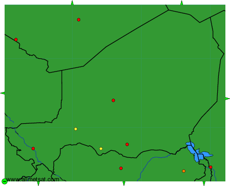
To change the map : click on the green buttons with a black cross to zoom in, on the green button with a dash to zoom out, or on the green arrows for adjacent maps.