METAR-TAF
Airports :
Mano Dayak International Airport
Agadez, Niger
latitude: 16-58N, longitude: 007-59E, elevation: 501 m
Current weather observation
The report was made 34 minutes ago, at 07:00 UTC
Wind 2 kt from the North/Northwest
Temperature 26°C
Humidity 12%
Pressure 1009 hPa
Visibility: 7000 m
METAR: DRZA 130700Z 33002KT 7000 NSC 26/M06 Q1009
Time: 08:34 (07:34 UTC)
Forecast
The report was made 2 hours and 34 minutes ago, at 05:00 UTC
Forecast valid from 13 at 06 UTC to 14 at 06 UTC
Wind 6 kt from the North/Northwest
Visibility 10 km or more
no clouds below 1500 m and no cumulonimbus
Temporary
from 13 at 11 UTC to 13 at 16 UTC
from 13 at 11 UTC to 13 at 16 UTC
Wind 16 kt from the West
TAF: DRZA 130500Z 1306/1406 34006KT CAVOK TEMPO 1311/1316 28016KT
Weather observations and forecasts of more than 4000 airports (METAR and TAF reports).
The available stations are represented by yellow and red dots on the map.
Hover mouse over dot to see the name of the station.
Then click to see weather observations and forecasts.
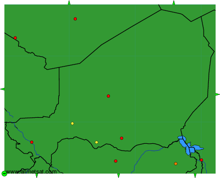
To change the map : click on the green buttons with a black cross to zoom in, on the green button with a dash to zoom out, or on the green arrows for adjacent maps.