METAR-TAF
Airports :
Murtala Muhammed International Airport
Lagos, Nigeria
latitude: 06-35N, longitude: 003-20E, elevation: 40 m
Current weather observation
METAR: DNMM 231600Z 20009KT 5000 -RA BKN009 25/24 Q1014 NOSIG
Time: 17:21 (16:21 UTC)
Forecast
Few clouds at a height of 2000 ft, Cumulonimbus.
from 23 at 13 UTC to 23 at 18 UTC
Few clouds at a height of 1900 ft, Cumulonimbus.
from 23 at 20 UTC to 23 at 22 UTC
from 23 at 20 UTC to 24 at 01 UTC
from 24 at 02 UTC to 24 at 07 UTC
Few clouds at a height of 1800 ft, Cumulonimbus.
from 24 at 08 UTC to 24 at 10 UTC
Few clouds at a height of 2000 ft, Cumulonimbus.
TAF: DNMM 231100Z 2312/2418 22010KT 9999 BKN013 FEW020CB TEMPO 2313/2318 4000 -TSRA BKN009 FEW019CB BECMG 2320/2322 VRB02KT SCT009 PROB30 2320/2401 5000 -RA BKN008 TEMPO 2402/2407 5000 -RA BKN008 FEW018CB BECMG 2408/2410 20010KT BKN013 FEW020CB
Weather observations and forecasts of more than 4000 airports (METAR and TAF reports).
The available stations are represented by yellow and red dots on the map.
Hover mouse over dot to see the name of the station.
Then click to see weather observations and forecasts.
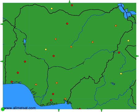
To change the map : click on the green buttons with a black cross to zoom in, on the green button with a dash to zoom out, or on the green arrows for adjacent maps.