METAR-TAF
Airports :
Douala International Airport
Douala, Cameroon
latitude: 04-00N, longitude: 009-44E, elevation: 10 m
Current weather observation
Broken clouds at a height of 1200 ft
Few clouds at a height of 1400 ft, Cumulonimbus.
METAR: FKKD 060900Z VRB03KT 8000 -RADZ FEW004 BKN012 FEW014CB 26/25 Q1016 TEMPO 3500 RADZ
Time: 13:32 (12:32 UTC)
Forecast
Few clouds at a height of 1600 ft, Cumulonimbus.
from 06 at 21 UTC to 06 at 24 UTC
from 07 at 02 UTC to 07 at 07 UTC
from 07 at 09 UTC to 07 at 11 UTC
TAF: FKKD 061100Z 0612/0718 VRB04KT 9999 BKN013 FEW016CB PROB40 TEMPO 0621/0624 3000 RADZ PROB30 TEMPO 0702/0707 2000 TSRADZ PROB40 TEMPO 0709/0711 3000 RADZ
Weather observations and forecasts of more than 4000 airports (METAR and TAF reports).
The available stations are represented by yellow and red dots on the map.
Hover mouse over dot to see the name of the station.
Then click to see weather observations and forecasts.
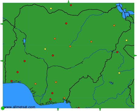
To change the map : click on the green buttons with a black cross to zoom in, on the green button with a dash to zoom out, or on the green arrows for adjacent maps.