METAR-TAF
Airports :
Murtala Muhammed International Airport
Lagos, Nigeria
latitude: 06-35N, longitude: 003-20E, elevation: 40 m
Current weather observation
The report was made 40 minutes ago, at 10:00 UTC
Wind 6 kt from the South/Southeast
Temperature 32°C
Humidity 63%
Pressure 1016 hPa
Visibility 10 km or more
Broken clouds at a height of 1400 ft
METAR: DNMM 111000Z 16006KT 9999 BKN014 32/24 Q1016 NOSIG
Time: 11:40 (10:40 UTC)
Forecast
The report was made 11 hours and 40 minutes ago, at 23:00 UTC
Forecast valid from 11 at 00 UTC to 12 at 06 UTC
Wind 2 kt from variable directions
Visibility 10 km or more
Scattered clouds at a height of 1100 ft
Becoming
from 11 at 08 UTC to 11 at 10 UTC
from 11 at 08 UTC to 11 at 10 UTC
Wind 10 kt from the South/Southwest
Broken clouds at a height of 1300 ft
Temporary
from 11 at 14 UTC to 11 at 19 UTC
from 11 at 14 UTC to 11 at 19 UTC
Scattered clouds at a height of 1400 ft
Few clouds at a height of 2000 ft, Cumulonimbus.
Few clouds at a height of 2000 ft, Cumulonimbus.
Becoming
from 11 at 19 UTC to 11 at 21 UTC
from 11 at 19 UTC to 11 at 21 UTC
Wind 2 kt from variable directions
Scattered clouds at a height of 1100 ft
TAF: DNMM 102300Z 1100/1206 VRB02KT 9999 SCT011 BECMG 1108/1110 20010KT BKN013 TEMPO 1114/1119 SCT014 FEW020CB BECMG 1119/1121 VRB02KT SCT011
Weather observations and forecasts of more than 4000 airports (METAR and TAF reports).
The available stations are represented by yellow and red dots on the map.
Hover mouse over dot to see the name of the station.
Then click to see weather observations and forecasts.
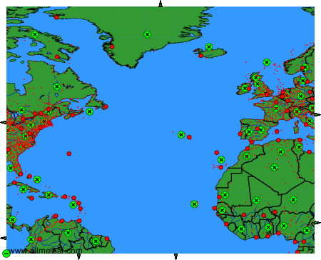
To change the map : click on the green buttons with a black cross to zoom in, on the green button with a dash to zoom out, or on the green arrows for adjacent maps.