The report was made 5 hours and 39 minutes ago, at 22:54 UTC
Forecast valid from 12 at 00 UTC to 13 at 06 UTC
Wind 5 kt from the Southwest
Visibility 10 km or more
Few clouds at a height of 2500 ft
Becoming from 12 at 05 UTC to 12 at 08 UTC
Wind 15 kt from the South/Southwest with gusts up to 25 kt
Becoming from 12 at 08 UTC to 12 at 11 UTC
Wind 20 kt from the South/Southwest with gusts up to 35 kt
Temporary from 12 at 13 UTC to 12 at 22 UTC
Visibility: 7000 m
rain
Probability 30% :
Temporary from 12 at 16 UTC to 13 at 04 UTC
Broken clouds at a height of 1000 ft
Temporary from 12 at 22 UTC to 13 at 04 UTC
Visibility: 2500 m
heavy rain
Becoming from 13 at 01 UTC to 13 at 04 UTC
Wind 12 kt from the West/Southwest
Probability 30% :
Temporary from 13 at 04 UTC to 13 at 06 UTC
Visibility: 8000 m
light rain,
TAF: EGKK 112254Z 1200/1306 22005KT 9999 FEW025 BECMG 1205/1208 21015G25KT BECMG 1208/1211 21020G35KT TEMPO 1213/1222 7000 RA PROB30 TEMPO 1216/1304 BKN010 TEMPO 1222/1304 2500 +RA BECMG 1301/1304 25012KT PROB30 TEMPO 1304/1306 8000 -RA
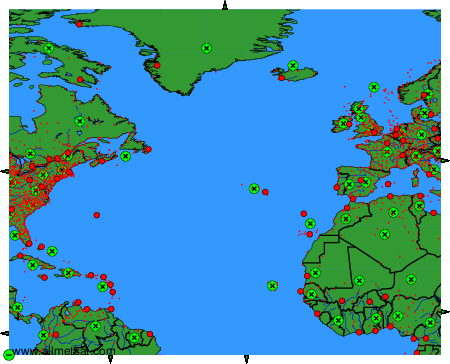
Weather observations and forecasts of more than 4000 airports (METAR and TAF reports).
The available stations are represented by yellow and red dots on the map.
Hover mouse over dot to see the name of the station.
Then click to see weather observations and forecasts.
To change the map : click on the green buttons with a black cross to zoom in, on the green button with a dash to zoom out, or on the green arrows for adjacent maps.