METAR-TAF
Airports :
Conakry International Airport
Conakry, Guinea
latitude: 09-34N, longitude: 013-37W, elevation: 26 m
Current weather observation
The report was made 48 minutes ago, at 02:00 UTC
Wind 2 kt from variable directions
Temperature 26°C
Humidity 79%
Pressure 1010 hPa
Visibility 10 km or more
no clouds below 1500 m and no cumulonimbus
METAR: GUCY 090200Z VRB02KT CAVOK 26/22 Q1010 NOSIG
Time: 02:48 (02:48 UTC)
Forecast
The report was made 3 hours and 48 minutes ago, at 23:00 UTC
Forecast valid from 09 at 00 UTC to 10 at 06 UTC
Wind 6 kt from the West/Northwest
Visibility 10 km or more
Few clouds at a height of 1500 ft
Temporary
from 09 at 01 UTC to 09 at 03 UTC
from 09 at 01 UTC to 09 at 03 UTC
Visibility 10 km or more
no clouds below 1500 m and no cumulonimbus
Probability 30% :
Temporary
from 09 at 04 UTC to 09 at 07 UTC
from 09 at 04 UTC to 09 at 07 UTC
Wind 12 kt from the South/Southeast
Scattered clouds at a height of 1300 ft
Broken clouds at a height of 10000 ft
Broken clouds at a height of 10000 ft
TAF: GUCY 082300Z 0900/1006 29006KT 9999 FEW015 TEMPO 0901/0903 CAVOK PROB30 TEMPO 0904/0907 16012KT SCT013 BKN100
Weather observations and forecasts of more than 4000 airports (METAR and TAF reports).
The available stations are represented by yellow and red dots on the map.
Hover mouse over dot to see the name of the station.
Then click to see weather observations and forecasts.
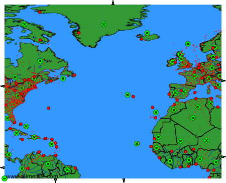
To change the map : click on the green buttons with a black cross to zoom in, on the green button with a dash to zoom out, or on the green arrows for adjacent maps.