METAR-TAF
Airports :
Miami International Airport
Miami, Florida, United States
latitude: 25-47-26N, longitude: 080-18-59W, elevation: 3 m
Current weather observation
The report was made 26 minutes ago, at 16:53 UTC
Wind 11 kt from the East
Temperature 24°C
Humidity 61%
Pressure 1018 hPa
Visibility: 16.1 km
Broken clouds at a height of 3600 ft
Overcast at a height of 4800 ft
Overcast at a height of 4800 ft
METAR: KMIA 231653Z 10011KT 10SM BKN036 OVC048 24/16 A3006 RMK AO2 RAE22 SLP178 P0000 T02440156 $
Time: 13:19 (17:19 UTC)
Forecast
The report was made 2 hours and 19 minutes ago, at 15:00 UTC
Forecast valid from 23 at 15 UTC to 24 at 18 UTC
Wind 12 kt from the East with gusts up to 22 kt
Visibility: 10 km
Broken clouds at a height of 3500 ft
Broken clouds at a height of 5000 ft
Broken clouds at a height of 5000 ft
From 24 at 0000 UTC
Wind 8 kt from the East/Southeast
Visibility: 10 km
Scattered clouds at a height of 3000 ft
Scattered clouds at a height of 10000 ft
Broken clouds at a height of 25000 ft
Scattered clouds at a height of 10000 ft
Broken clouds at a height of 25000 ft
TAF: KMIA 231500Z 2315/2418 10012G22KT P6SM BKN035 BKN050 FM240000 11008KT P6SM SCT030 SCT100 BKN250
Weather observations and forecasts of more than 4000 airports (METAR and TAF reports).
The available stations are represented by yellow and red dots on the map.
Hover mouse over dot to see the name of the station.
Then click to see weather observations and forecasts.
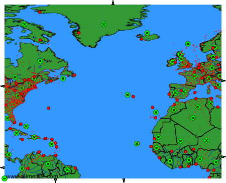
To change the map : click on the green buttons with a black cross to zoom in, on the green button with a dash to zoom out, or on the green arrows for adjacent maps.