The report was made 4 hours and 0 minutes ago, at 11:00 UTC
Forecast valid from 05 at 12 UTC to 06 at 18 UTC
Wind 14 kt from the Southwest
Visibility 10 km or more
no clouds below 1500 m and no cumulonimbus
Temporary from 05 at 16 UTC to 05 at 18 UTC
Wind 16 kt from the West/Southwest with gusts up to 26 kt
Temporary from 05 at 21 UTC to 06 at 06 UTC
Wind 14 kt from the West/Northwest
Visibility: 5000 m
Scattered clouds at a height of 1400 ft, Towering cumulus. Broken clouds at a height of 2000 ft
rain showers
Becoming from 06 at 06 UTC to 06 at 08 UTC
Wind 14 kt from the West/Northwest
Visibility 10 km or more
no clouds below 1500 m and no cumulonimbus
Probability 30% :
Temporary from 06 at 09 UTC to 06 at 13 UTC
Visibility 10 km or more
Broken clouds at a height of 4000 ft
TAF: LKPR 051100Z 0512/0618 22014KT CAVOK TEMPO 0516/0518 25016G26KT TEMPO 0521/0606 30014KT 5000 SHRA SCT014TCU BKN020 BECMG 0606/0608 30014KT CAVOK PROB30 TEMPO 0609/0613 9999 BKN040
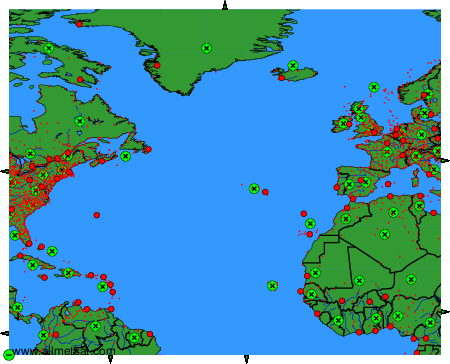
Weather observations and forecasts of more than 4000 airports (METAR and TAF reports).
The available stations are represented by yellow and red dots on the map.
Hover mouse over dot to see the name of the station.
Then click to see weather observations and forecasts.
To change the map : click on the green buttons with a black cross to zoom in, on the green button with a dash to zoom out, or on the green arrows for adjacent maps.