METAR-TAF
Airports :
Yangyang International Airport
Yangyang, South Korea
latitude: 38-03-41N, longitude: 128-40-09E, elevation: 73 m
Current weather observation
METAR: RKNY 020800Z 13006KT 100V160 CAVOK 22/07 Q1006 NOSIG
Time: 18:00 (09:00 UTC)
Forecast
from 02 at 08 UTC to 02 at 10 UTC
from 02 at 16 UTC to 02 at 18 UTC
Broken clouds at a height of 3500 ft
Overcast at a height of 8000 ft
from 02 at 22 UTC to 03 at 04 UTC
Broken clouds at a height of 2500 ft
Overcast at a height of 6000 ft
from 03 at 05 UTC to 03 at 07 UTC
Broken clouds at a height of 2500 ft
Overcast at a height of 6000 ft
from 03 at 10 UTC to 03 at 12 UTC
Overcast at a height of 2000 ft
TAF: RKNY 020500Z 0206/0312 12007KT CAVOK TN12/0223Z TX13/0302Z BECMG 0208/0210 27006KT 6000 NSC BECMG 0216/0218 07005KT 4000 -RA FEW015 BKN035 OVC080 TEMPO 0222/0304 11008KT 2000 RA SCT008 BKN025 OVC060 BECMG 0305/0307 36007KT SCT008 BKN025 OVC060 BECMG 0310/0312 33010KT 2000 RA BKN008 OVC020
Weather observations and forecasts of more than 4000 airports (METAR and TAF reports).
The available stations are represented by yellow and red dots on the map.
Hover mouse over dot to see the name of the station.
Then click to see weather observations and forecasts.
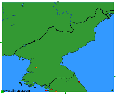
To change the map : click on the green buttons with a black cross to zoom in, on the green button with a dash to zoom out, or on the green arrows for adjacent maps.