METAR-TAF
Airports :
Gimpo International Airport
Seoul-Gimpo, South Korea
latitude: 37-33N, longitude: 126-48E, elevation: 18 m
Current weather observation
The report was made 46 minutes ago, at 23:00 UTC
Wind 5 kt from the West, varying between Southwest and West/Northwest
Temperature 28°C
Humidity 94%
Pressure 1013 hPa
Visibility 10 km or more
Scattered clouds at a height of 3000 ft
METAR: RKSS 282300Z 27005KT 230V290 9999 SCT030 28/27 Q1013 NOSIG
Time: 08:46 (23:46 UTC)
Forecast
The report was made 46 minutes ago, at 23:00 UTC
Forecast valid from 29 at 00 UTC to 30 at 06 UTC
Wind 7 kt from the West
Visibility 10 km or more
Few clouds at a height of 3500 ft
Becoming
from 29 at 13 UTC to 29 at 15 UTC
from 29 at 13 UTC to 29 at 15 UTC
Few clouds at a height of 1000 ft
Broken clouds at a height of 2000 ft
Broken clouds at a height of 2000 ft
Becoming
from 30 at 00 UTC to 30 at 02 UTC
from 30 at 00 UTC to 30 at 02 UTC
Scattered clouds at a height of 4000 ft
TAF: RKSS 282300Z 2900/3006 28007KT 9999 FEW035 TX33/2905Z TN25/2920Z TX33/3005Z BECMG 2913/2915 FEW010 BKN020 BECMG 3000/3002 SCT040
Weather observations and forecasts of more than 4000 airports (METAR and TAF reports).
The available stations are represented by yellow and red dots on the map.
Hover mouse over dot to see the name of the station.
Then click to see weather observations and forecasts.
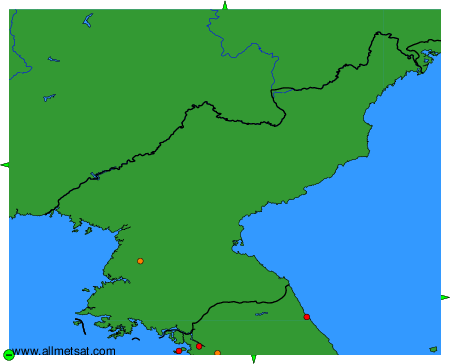
To change the map : click on the green buttons with a black cross to zoom in, on the green button with a dash to zoom out, or on the green arrows for adjacent maps.