METAR-TAF
Airports :
Pyongyang Sunan International Airport
Pyongyang, North Korea
latitude: 39-02N, longitude: 125-47E, elevation: 36 m
METAR: missing
Time: 05:34 (20:34 UTC)
Forecast
The report was made 16 hours and 4 minutes ago, at 04:30 UTC
Forecast valid from 30 at 06 UTC to 31 at 06 UTC
Wind 6 kt from the Southwest
Visibility 10 km or more
Broken clouds at a height of 2000 ft
TAF: ZKPY 300430Z 3006/3106 23003MPS 9999 BKN020 TX32/3006Z TN26/3021Z
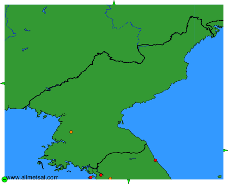
Weather observations and forecasts of more than 4000 airports (METAR and TAF reports).
The available stations are represented by yellow and red dots on the map.
Hover mouse over dot to see the name of the station.
Then click to see weather observations and forecasts.
To change the map : click on the green buttons with a black cross to zoom in, on the green button with a dash to zoom out, or on the green arrows for adjacent maps.