METAR-TAF
Airports :
Edinburgh Airport
Edinburgh, Scotland
latitude: 55-57N, longitude: 003-21W, elevation: 41 m
Current weather observation
The report was made 34 minutes ago, at 22:20 UTC
Wind 2 kt from the Northeast
Temperature 15°C
Humidity 94%
Pressure 1022 hPa
Visibility 10 km or more
no clouds below 1500 m and no cumulonimbus
METAR: EGPH 222220Z 05002KT CAVOK 15/14 Q1022
Time: 23:54 (22:54 UTC)
Forecast
The report was made 5 hours and 55 minutes ago, at 16:59 UTC
Forecast valid from 22 at 18 UTC to 23 at 18 UTC
Wind 5 kt from the Northeast
Visibility 10 km or more
Few clouds at a height of 2500 ft
Temporary
from 22 at 23 UTC to 23 at 07 UTC
from 22 at 23 UTC to 23 at 07 UTC
Visibility: 6000 m
Probability 40%
from 23 at 00 UTC to 23 at 03 UTC
from 23 at 00 UTC to 23 at 03 UTC
Visibility: 3000 m
mist
Probability 30%
from 23 at 03 UTC to 23 at 06 UTC
from 23 at 03 UTC to 23 at 06 UTC
Visibility: 0300 m
Broken clouds at a height lower than 100 ft
fog
Becoming
from 23 at 12 UTC to 23 at 15 UTC
from 23 at 12 UTC to 23 at 15 UTC
Wind 10 kt from the West
TAF: EGPH 221659Z 2218/2318 05005KT 9999 FEW025 TEMPO 2223/2307 6000 PROB40 2300/2303 3000 BR PROB30 2303/2306 0300 FG BKN000 BECMG 2312/2315 27010KT
Weather observations and forecasts of more than 4000 airports (METAR and TAF reports).
The available stations are represented by yellow and red dots on the map.
Hover mouse over dot to see the name of the station.
Then click to see weather observations and forecasts.
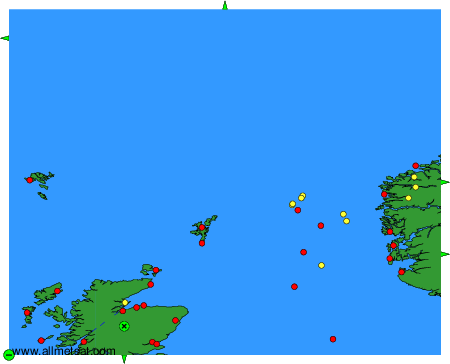
To change the map : click on the green buttons with a black cross to zoom in, on the green button with a dash to zoom out, or on the green arrows for adjacent maps.