METAR-TAF
Airports :
Florø Airport
Florø, Norway
latitude: 61-35N, longitude: 005-02E, elevation: 0 m
Current weather observation
The report was made 16 minutes ago, at 00:50 UTC
Wind 15 kt from the South
Temperature 11°C
Humidity 94%
Pressure 1010 hPa
Visibility 10 km or more
light rain
METAR: ENFL 010050Z AUTO 19015KT 9999 -RA FEW012/// SCT021/// OVC045/// 11/10 Q1010
Time: 03:06 (01:06 UTC)
Forecast
The report was made 2 hours and 6 minutes ago, at 23:00 UTC
Forecast valid from 01 at 00 UTC to 01 at 09 UTC
Wind 15 kt from the South/Southwest
Visibility 10 km or more
Few clouds at a height of 1200 ft
Broken clouds at a height of 2500 ft
Broken clouds at a height of 2500 ft
light rain showers
Temporary
from 01 at 00 UTC to 01 at 09 UTC
from 01 at 00 UTC to 01 at 09 UTC
Visibility: 4000 m
Broken clouds at a height of 1200 ft, Cumulonimbus.
rain showers
Probability 30% :
Temporary
from 01 at 00 UTC to 01 at 08 UTC
from 01 at 00 UTC to 01 at 08 UTC
Wind 20 kt from the South with gusts up to 30 kt
thunderstorm,
TAF: ENFL 312300Z 0100/0109 20015KT 9999 -SHRA FEW012 BKN025 TEMPO 0100/0109 4000 SHRA BKN012CB PROB30 TEMPO 0100/0108 19020G30KT TS
Weather observations and forecasts of more than 4000 airports (METAR and TAF reports).
The available stations are represented by yellow and red dots on the map.
Hover mouse over dot to see the name of the station.
Then click to see weather observations and forecasts.
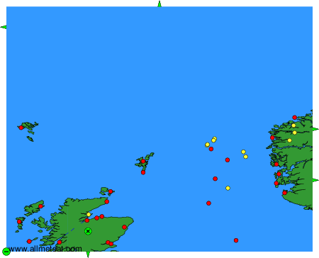
To change the map : click on the green buttons with a black cross to zoom in, on the green button with a dash to zoom out, or on the green arrows for adjacent maps.