METAR-TAF
Airports :
Oil platform Norsk Hydro
Oseberg, Norway
latitude: 60-29-29N, longitude: 2-49-32E, elevation: 158 m
Current weather observation
The report was made 20 minutes ago, at 06:50 UTC
Wind 29 kt from the West/Northwest
Temperature 12°C
Humidity 71%
Pressure 1001 hPa
Visibility 10 km or more
Few clouds at a height of 1500 ft
Broken clouds at a height of 2000 ft
Broken clouds at a height of 2000 ft
METAR: ENOA 270650Z 30029KT 9999 FEW015 BKN020 12/07 Q1001 W///S5
Time: 09:10 (07:10 UTC)
Forecast
The report was made 2 hours and 10 minutes ago, at 05:00 UTC
Forecast valid from 27 at 06 UTC to 28 at 06 UTC
Wind 28 kt from the West
Visibility 10 km or more
Few clouds at a height of 1500 ft
Broken clouds at a height of 2500 ft
Broken clouds at a height of 2500 ft
Becoming
from 28 at 02 UTC to 28 at 04 UTC
from 28 at 02 UTC to 28 at 04 UTC
Wind 18 kt from the West
Temporary
from 28 at 03 UTC to 28 at 06 UTC
from 28 at 03 UTC to 28 at 06 UTC
Broken clouds at a height of 1400 ft
TAF: ENOA 270500Z 2706/2806 28028KT 9999 FEW015 BKN025 BECMG 2802/2804 28018KT TEMPO 2803/2806 BKN014
Weather observations and forecasts of more than 4000 airports (METAR and TAF reports).
The available stations are represented by yellow and red dots on the map.
Hover mouse over dot to see the name of the station.
Then click to see weather observations and forecasts.
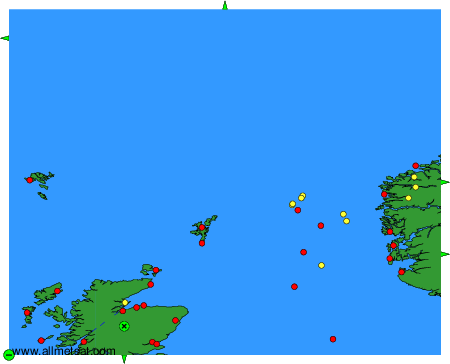
To change the map : click on the green buttons with a black cross to zoom in, on the green button with a dash to zoom out, or on the green arrows for adjacent maps.