METAR-TAF
Airports :
Sandane Airport. Anda
Sandane, Norway
latitude: 61-50N, longitude: 006-07E, elevation: 6 m
Current weather observation
Scattered clouds at a height of 3500 ft
Broken clouds at a height of 4500 ft
METAR: ENSD 270920Z VRB03KT 9999 FEW024 SCT035 BKN045 13/08 Q0999 RMK WIND RWY 26 00000KT WIND 1126FT 21011KT
Time: 11:51 (09:51 UTC)
Forecast
Scattered clouds at a height of 2000 ft
Broken clouds at a height of 3000 ft
from 27 at 09 UTC to 27 at 15 UTC
from 27 at 15 UTC to 27 at 18 UTC
TAF: ENSD 270800Z 2709/2718 VRB04KT 9999 -RA FEW010 SCT020 BKN030 PROB40 TEMPO 2709/2715 4000 SHRA BKN012TCU TEMPO 2715/2718 4000 RA BKN012
Weather observations and forecasts of more than 4000 airports (METAR and TAF reports).
The available stations are represented by yellow and red dots on the map.
Hover mouse over dot to see the name of the station.
Then click to see weather observations and forecasts.
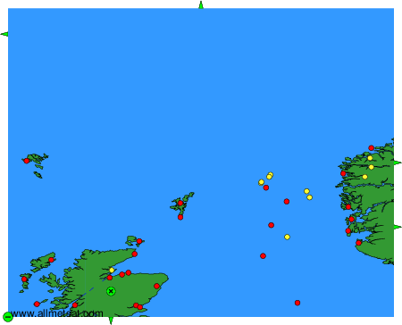
To change the map : click on the green buttons with a black cross to zoom in, on the green button with a dash to zoom out, or on the green arrows for adjacent maps.