METAR-TAF
Airports :
Abane Ramdane Airport
Béjaïa, Algeria
latitude: 36-43N, longitude: 005-04E, elevation: 2 m
Current weather observation
The report was made 17 minutes ago, at 15:00 UTC
Wind 4 kt from the North/Northeast
Temperature 31°C
Humidity 52%
Pressure 1013 hPa
Visibility 10 km or more
Few clouds at a height of 2000 ft
Scattered clouds at a height of 23300 ft
Scattered clouds at a height of 23300 ft
METAR: DAAE 261500Z 03004KT 9999 FEW020 SCT233 31/20 Q1013
Time: 16:17 (15:17 UTC)
Forecast
The report was made 4 hours and 17 minutes ago, at 11:00 UTC
Forecast valid from 26 at 12 UTC to 27 at 12 UTC
Wind 12 kt from the North/Northeast
Visibility 10 km or more
Few clouds at a height of 2600 ft
Scattered clouds at a height of 3000 ft
Scattered clouds at a height of 3000 ft
Becoming
from 26 at 18 UTC to 26 at 20 UTC
from 26 at 18 UTC to 26 at 20 UTC
Wind 8 kt from the East
Probability 30%
from 26 at 22 UTC to 27 at 06 UTC
from 26 at 22 UTC to 27 at 06 UTC
Few clouds at a height of 2300 ft, Cumulonimbus.
Broken clouds at a height of 3000 ft
Broken clouds at a height of 3000 ft
Probability 30%
from 27 at 01 UTC to 27 at 05 UTC
from 27 at 01 UTC to 27 at 05 UTC
Visibility: 4000 m
thunderstorm, light rain,
TAF: DAAE 261100Z 2612/2712 03012KT 9999 FEW026 SCT030 BECMG 2618/2620 10008KT PROB30 2622/2706 FEW023CB BKN030 PROB30 2701/2705 4000 -TSRA
Weather observations and forecasts of more than 4000 airports (METAR and TAF reports).
The available stations are represented by yellow and red dots on the map.
Hover mouse over dot to see the name of the station.
Then click to see weather observations and forecasts.
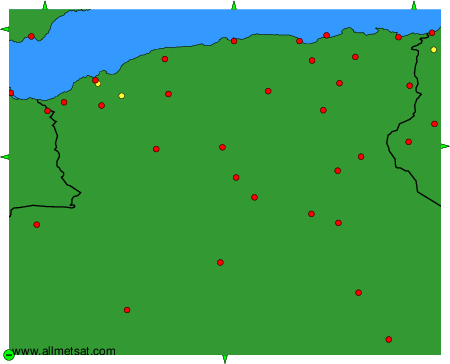
To change the map : click on the green buttons with a black cross to zoom in, on the green button with a dash to zoom out, or on the green arrows for adjacent maps.