METAR-TAF
Airports :
Houari Boumediene Airport
Algiers, Algeria
latitude: 36-43N, longitude: 003-15E, elevation: 25 m
Current weather observation
The report was made 40 minutes ago, at 16:00 UTC
Wind 7 kt from the Northwest
Temperature 14°C
Humidity 58%
Pressure 1017 hPa
Visibility 10 km or more
Few clouds at a height of 2000 ft, Towering cumulus.
Few clouds at a height of 2300 ft, Cumulonimbus.
Broken clouds at a height of 4000 ft
Few clouds at a height of 2300 ft, Cumulonimbus.
Broken clouds at a height of 4000 ft
METAR: DAAG 011600Z 31007KT 9999 FEW020TCU FEW023CB BKN040 14/06 Q1017
Time: 17:40 (16:40 UTC)
Forecast
The report was made 5 hours and 40 minutes ago, at 11:00 UTC
Forecast valid from 01 at 12 UTC to 02 at 12 UTC
Wind 15 kt from the Northwest
Visibility 10 km or more
Scattered clouds at a height of 2000 ft
Few clouds at a height of 2300 ft, Cumulonimbus.
Scattered clouds at a height of 3600 ft
Few clouds at a height of 2300 ft, Cumulonimbus.
Scattered clouds at a height of 3600 ft
Becoming
from 01 at 18 UTC to 01 at 20 UTC
from 01 at 18 UTC to 01 at 20 UTC
Wind 6 kt from the South/Southeast
Probability 30% :
Temporary
from 01 at 22 UTC to 02 at 06 UTC
from 01 at 22 UTC to 02 at 06 UTC
Visibility: 4000 m
rain,
TAF: DAAG 011100Z 0112/0212 32015KT 9999 SCT020 FEW023CB SCT036 BECMG 0118/0120 16006KT PROB30 TEMPO 0122/0206 4000 RA
Weather observations and forecasts of more than 4000 airports (METAR and TAF reports).
The available stations are represented by yellow and red dots on the map.
Hover mouse over dot to see the name of the station.
Then click to see weather observations and forecasts.
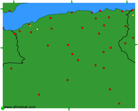
To change the map : click on the green buttons with a black cross to zoom in, on the green button with a dash to zoom out, or on the green arrows for adjacent maps.