METAR-TAF
Airports :
Mohamed Boudiaf International Airport
Constantine, Algeria
latitude: 36-17N, longitude: 006-37E, elevation: 694 m
Current weather observation
The report was made 35 minutes ago, at 02:30 UTC
Wind 2 kt from variable directions
Temperature 20°C
Humidity 64%
Pressure 1021 hPa
Visibility 10 km or more
no clouds below 1500 m and no cumulonimbus
METAR: DABC 310230Z VRB02KT CAVOK 20/13 Q1021
Time: 04:05 (03:05 UTC)
Forecast
The report was made 4 hours and 5 minutes ago, at 23:00 UTC
Forecast valid from 31 at 00 UTC to 31 at 24 UTC
Wind 8 kt from the East
Visibility 10 km or more
Few clouds at a height of 2600 ft
Temporary
from 31 at 13 UTC to 31 at 18 UTC
from 31 at 13 UTC to 31 at 18 UTC
Wind 14 kt from the North
TAF: DABC 302300Z 3100/3124 08008KT 9999 FEW026 TEMPO 3113/3118 36014KT
Weather observations and forecasts of more than 4000 airports (METAR and TAF reports).
The available stations are represented by yellow and red dots on the map.
Hover mouse over dot to see the name of the station.
Then click to see weather observations and forecasts.
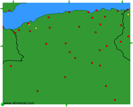
To change the map : click on the green buttons with a black cross to zoom in, on the green button with a dash to zoom out, or on the green arrows for adjacent maps.