METAR-TAF
Airports :
Mostépha Ben Boulaid Airport
Batna, Algeria
latitude: 35-33N, longitude: 006-11E, elevation: 1052 m
Current weather observation
The report was made 12 minutes ago, at 13:00 UTC
Wind 4 kt from the West/Southwest
Temperature 34°C
Humidity 16%
Pressure 1023 hPa
Visibility 10 km or more
Few clouds at a height of 2300 ft
METAR: DABT 131300Z 24004KT 9999 FEW023 34/05 Q1023
Time: 14:12 (13:12 UTC)
Forecast
The report was made 2 hours and 12 minutes ago, at 11:00 UTC
Forecast valid from 13 at 12 UTC to 14 at 12 UTC
Wind 8 kt from the Northwest
Visibility 10 km or more
Few clouds at a height of 2300 ft
Temporary
from 13 at 13 UTC to 13 at 18 UTC
from 13 at 13 UTC to 13 at 18 UTC
Wind 14 kt from the North/Northeast
Few clouds at a height of 2600 ft, Cumulonimbus.
Scattered clouds at a height of 3000 ft
Scattered clouds at a height of 3000 ft
TAF: DABT 131100Z 1312/1412 31008KT 9999 FEW023 TEMPO 1313/1318 02014KT FEW026CB SCT030
Weather observations and forecasts of more than 4000 airports (METAR and TAF reports).
The available stations are represented by yellow and red dots on the map.
Hover mouse over dot to see the name of the station.
Then click to see weather observations and forecasts.
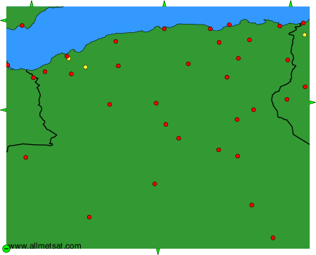
To change the map : click on the green buttons with a black cross to zoom in, on the green button with a dash to zoom out, or on the green arrows for adjacent maps.