METAR-TAF
Airports :
Chlef International Airport
Chlef, Algeria
latitude: 36-13N, longitude: 001-20E, elevation: 143 m
Current weather observation
The report was made 43 minutes ago, at 14:00 UTC
Wind 7 kt from the North/Northwest
Temperature 23°C
Humidity 53%
Pressure 1009 hPa
Visibility 10 km or more
Few clouds at a height of 2600 ft
METAR: DAOI 191400Z 34007KT 9999 FEW026 23/13 Q1009
Time: 15:43 (14:43 UTC)
Forecast
The report was made 3 hours and 43 minutes ago, at 11:00 UTC
Forecast valid from 19 at 12 UTC to 20 at 12 UTC
Wind 8 kt from the East/Northeast
TAF: DAOI 191100Z 1912/2012 06008KT CAVOK
Weather observations and forecasts of more than 4000 airports (METAR and TAF reports).
The available stations are represented by yellow and red dots on the map.
Hover mouse over dot to see the name of the station.
Then click to see weather observations and forecasts.
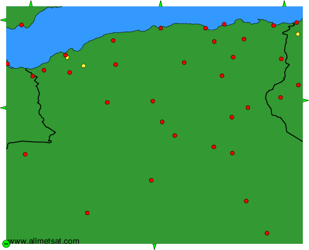
To change the map : click on the green buttons with a black cross to zoom in, on the green button with a dash to zoom out, or on the green arrows for adjacent maps.