METAR-TAF
Airports :
Nador International Airport
Nador, Morocco
latitude: 34-59-20N, longitude: 003-01-42W, elevation: 175 m
Current weather observation
The report was made 8 minutes ago, at 19:00 UTC
Wind 11 kt from the East/Northeast
Temperature 13°C
Humidity 82%
Pressure 1021 hPa
Visibility: 8000 m
Scattered clouds at a height of 1700 ft
METAR: GMMW 241900Z 06011KT 8000 SCT017 13/10 Q1021 NOSIG
Time: 20:08 (19:08 UTC)
Forecast
The report was made 2 hours and 8 minutes ago, at 17:00 UTC
Forecast valid from 24 at 18 UTC to 25 at 24 UTC
Wind 15 kt from the East/Northeast
Visibility: 8000 m
Scattered clouds at a height of 1700 ft
Temporary
from 25 at 00 UTC to 25 at 04 UTC
from 25 at 00 UTC to 25 at 04 UTC
Wind 2 kt from variable directions
Visibility: 0400 m
fog,
TAF: GMMW 241700Z 2418/2524 06015KT 8000 SCT017 TEMPO 2500/2504 VRB02KT 0400 FG
Weather observations and forecasts of more than 4000 airports (METAR and TAF reports).
The available stations are represented by yellow and red dots on the map.
Hover mouse over dot to see the name of the station.
Then click to see weather observations and forecasts.
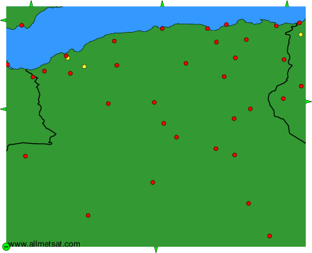
To change the map : click on the green buttons with a black cross to zoom in, on the green button with a dash to zoom out, or on the green arrows for adjacent maps.