METAR-TAF
Airports :
San Diego / North Island
Cabo San Lucas
Campo
Chihuahua
Ciudad Juárez
Ciudad Obregón
Culiacán
Deming
Douglas / Bisbee
El Paso
Fort Bliss
Fort Huachuca / Sierra Vista
Guaymas
Hermosillo
Imperial Beach
La Paz
Las Cruces
Loreto
Los Mochis
Mazatlán
Mexicali
Nogales
Puerto Peñasco
San Diego
San Diego
San Diego / North Island
San José Del Cabo
Silver City
Tijuana
Tucson
Tucson
Tucson
Tucson
Yuma
Mexico, Northwest
Arizona
California, South
Mexico
Mexico, Northeast
Mexico, Southwest
New Mexico
Texas, West
Naval Air Station North Island San Diego / North Island, California, United States
latitude: 32-41-27N, longitude: 117-12-32W, elevation: 7 m
Current weather observation The report was made 47 minutes ago, at 03:52 UTC
Wind 4 kt from the South/Southwest
Temperature 17 °C
Humidity 77 %
Pressure 1016 hPa
Visibility: 16.1 km
Broken clouds at a height of 1900 ft
METAR: KNZY 150352Z 20004KT 10SM BKN019 17/13 A2999 RMK AO2 SLP154 T01720128 $
Time: 21:39 (04:39 UTC) Forecast
Forecast valid from 14 at 23 UTC to 15 at 23 UTC
Wind 8 kt from the West/Southwest
Visibility 10 km or more
Scattered clouds at a height of 2000 ft
Temporary
Broken clouds at a height of 1800 ft
Becoming
Wind 6 kt from variable directions
Visibility 10 km or more
Broken clouds at a height of 1800 ft
From 15 at 0700 UTC
Wind 3 kt from variable directions
Visibility 10 km or more
Overcast at a height of 1500 ft
Becoming
Wind 9 kt from the Southwest
Visibility 10 km or more
Scattered clouds at a height of 2500 ft
TAF: KNZY 1423/1523 25008KT 9999 SCT020 QNH2994INS TEMPO 1500/1503 BKN018 BECMG 1503/1505 VRB06KT 9999 BKN018 QNH2997INS FM150700 VRB03KT 9999 OVC015 QNH2996INS BECMG 1517/1518 23009KT 9999 SCT025 QNH2995INS TX21/1520Z TN16/1511Z FS30194
Weather observations and forecasts of more than 4000 airports (METAR and TAF reports).
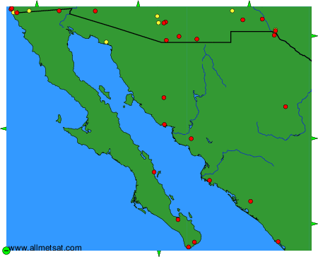
The available stations are represented by yellow and red dots on the map.
Hover mouse over dot to see the name of the station.
Then click to see weather observations and forecasts.
To change the map : click on the green buttons with a black cross to zoom in, on the green button with a dash to zoom out, or on the green arrows for adjacent maps.
