METAR-TAF
Airports :
Kugaaruk Airport
Kugaaruk, Nunavut, Canada
latitude: 68-32N, longitude: 089-49W, elevation: 15 m
Current weather observation
The report was made 8 hours and 18 minutes ago, at 23:00 UTC
Wind 8 kt from the Southwest
Temperature -34°C
Humidity 67%
Pressure 1015 hPa
Visibility: 19.3 km
Scattered clouds at a height of 8000 ft
ice crystals
METAR: CYBB 122300Z 22008KT 12SM IC SCT080 M34/M38 A2996 RMK AS3 LAST STFD OBS/NXT/131200Z SLP152
Time: 01:18 (07:18 UTC)
Forecast
The report was made 12 hours and 38 minutes ago, at 18:40 UTC
Forecast valid from 12 at 19 UTC to 12 at 24 UTC
Wind 15 kt from the Southwest
Visibility: 10 km
Few clouds at a height of 8000 ft
Scattered clouds at a height of 25000 ft
Scattered clouds at a height of 25000 ft
TAF: CYBB 121840Z 1219/1224 23015KT P6SM FEW080 SCT250 RMK NXT FCST BY 131400Z
Weather observations and forecasts of more than 4000 airports (METAR and TAF reports).
The available stations are represented by yellow and red dots on the map.
Hover mouse over dot to see the name of the station.
Then click to see weather observations and forecasts.
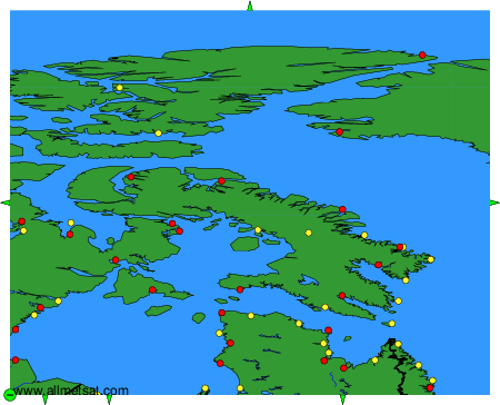
To change the map : click on the green buttons with a black cross to zoom in, on the green button with a dash to zoom out, or on the green arrows for adjacent maps.