The report was made 3 hours and 33 minutes ago, at 06:40 UTC
Forecast valid from 01 at 07 UTC to 01 at 19 UTC
Wind 6 kt from the East/Northeast
Visibility: 10 km
Broken clouds at a height of 6000 ft
Temporary from 01 at 07 UTC to 01 at 08 UTC
Scattered clouds at a height of 6000 ft
From 01 at 1000 UTC
Wind 5 kt from the East/Northeast
Visibility: 10 km
Scattered clouds at a height of 2500 ft
Temporary from 01 at 10 UTC to 01 at 16 UTC
Broken clouds at a height of 2500 ft
Becoming from 01 at 14 UTC to 01 at 16 UTC
Wind 8 kt from the Northeast
From 01 at 1600 UTC
Wind 8 kt from the Northeast
Visibility: 10 km
Scattered clouds at a height of 2000 ft Broken clouds at a height of 3000 ft
Temporary from 01 at 16 UTC to 01 at 19 UTC
Visibility: 10 km
Broken clouds at a height of 2000 ft Overcast at a height of 3000 ft
light rain showers
TAF: CYIO 010640Z 0107/0119 07006KT P6SM BKN060 TEMPO 0107/0108 SCT060 FM011000 07005KT P6SM SCT025 TEMPO 0110/0116 BKN025 BECMG 0114/0116 04008KT FM011600 04008KT P6SM SCT020 BKN030 TEMPO 0116/0119 P6SM -SHRA BKN020 OVC030 RMK FCST BASED ON AUTO OBS. NXT FCST BY 011300Z
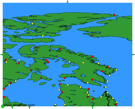
Weather observations and forecasts of more than 4000 airports (METAR and TAF reports).
The available stations are represented by yellow and red dots on the map.
Hover mouse over dot to see the name of the station.
Then click to see weather observations and forecasts.
To change the map : click on the green buttons with a black cross to zoom in, on the green button with a dash to zoom out, or on the green arrows for adjacent maps.