METAR-TAF
Airports :
Aupaluk Airport
Aupaluk, Quebec, Canada
latitude: 59-17-48N, longitude: 069-35-59W, elevation: 35 m
Current weather observation
The report was made 6 hours and 59 minutes ago, at 12:00 UTC
Wind 4 kt from the West
Temperature 11°C
Humidity 94%
Pressure 1007 hPa
Visibility: 24.1 km
Few clouds at a height of 3000 ft
Broken clouds at a height of 23000 ft
Broken clouds at a height of 23000 ft
METAR: CYLA 261200Z 26004KT 15SM FEW030 BKN230 11/10 A2973 RMK SC1CC4 LAST OBS/NEXT 271200UTC SLP072
Time: 14:59 (18:59 UTC)
TAF: missing
Weather observations and forecasts of more than 4000 airports (METAR and TAF reports).
The available stations are represented by yellow and red dots on the map.
Hover mouse over dot to see the name of the station.
Then click to see weather observations and forecasts.
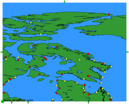
To change the map : click on the green buttons with a black cross to zoom in, on the green button with a dash to zoom out, or on the green arrows for adjacent maps.