METAR-TAF
Airports :
Pangnirtung Airport
Pangnirtung, Nunavut, Canada
latitude: 66-09N, longitude: 065-43W, elevation: 23 m
Current weather observation
The report was made 1 hour and 9 minutes ago, at 11:00 UTC
Wind 21 kt from the East with gusts up to 39 kt
Temperature -6°C
Humidity 41%
Pressure 1001 hPa
Visibility: 24.1 km
Few clouds at a height of 1900 ft
Overcast at a height of 6600 ft
Overcast at a height of 6600 ft
Low drifting snow
METAR: CYXP 141100Z 08021G39KT 15SM DRSN FEW019 OVC066 M06/M17 A2955 RMK SF1AS8 SF TR SNW CVR/HARD PACK SLP011
Time: 08:09 (12:09 UTC)
Forecast
The report was made 17 hours and 26 minutes ago, at 18:43 UTC
Forecast valid from 13 at 19 UTC to 13 at 22 UTC
Wind 20 kt from the East/Southeast with gusts up to 35 kt
Visibility: 10 km
Scattered clouds at a height of 4000 ft
Broken clouds at a height of 22000 ft
Broken clouds at a height of 22000 ft
TAF: CYXP 131843Z 1319/1322 11020G35KT P6SM SCT040 BKN220 RMK NXT FCST BY 141300Z
Weather observations and forecasts of more than 4000 airports (METAR and TAF reports).
The available stations are represented by yellow and red dots on the map.
Hover mouse over dot to see the name of the station.
Then click to see weather observations and forecasts.
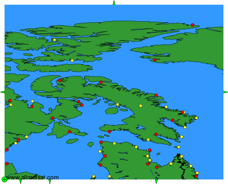
To change the map : click on the green buttons with a black cross to zoom in, on the green button with a dash to zoom out, or on the green arrows for adjacent maps.