Main page
METAR-TAF:

METAR-TAF

Airports :

Yellowknife Airport

Yellowknife, Northwest Territories, Canada

latitude: 62-28N, longitude: 114-27W, elevation: 205 m

Current weather observation

The report was made 57 minutes ago, at 12:00 UTC
Wind 6 kt from the Southeast
Temperature -32°C
Humidity 74%
Pressure 1023 hPa
Visibility: 24.1 km
Few clouds at a height of 24000 ft

METAR: CYZF 231200Z 14006KT 15SM FEW240 M32/M35 A3022 RMK CI2 SLP271

Time: 05:57 (12:57 UTC)

Forecast

The report was made 1 hour and 17 minutes ago, at 11:40 UTC
Forecast valid from 23 at 12 UTC to 24 at 18 UTC
Wind 7 kt from the Southeast
Visibility: 10 km
Few clouds at a height of 24000 ft
Probability 30%
from 23 at 12 UTC to 23 at 18 UTC
Visibility: 1.6 km
ice crystals, mist
From 23 at 1800 UTC
Wind 8 kt from the Southeast
Visibility: 10 km
Scattered clouds at a height of 10000 ft
Broken clouds at a height of 22000 ft
From 24 at 0600 UTC
Wind 5 kt from the East/Southeast
Visibility: 10 km
Broken clouds at a height of 8000 ft
Temporary
from 24 at 06 UTC to 24 at 15 UTC
Visibility: 10 km
Broken clouds at a height of 4000 ft
Overcast at a height of 8000 ft
light snow
From 24 at 1500 UTC
Wind 7 kt from the East/Southeast
Visibility: 10 km
Broken clouds at a height of 4000 ft
Overcast at a height of 8000 ft
light snow
Temporary
from 24 at 15 UTC to 24 at 18 UTC
Visibility: 3.2 km
Broken clouds at a height of 2000 ft
Overcast at a height of 4000 ft
light snow

TAF: CYZF 231140Z 2312/2418 13007KT P6SM FEW240 PROB30 2312/2318 1SM IC BR FM231800 14008KT P6SM SCT100 BKN220 FM240600 12005KT P6SM BKN080 TEMPO 2406/2415 P6SM -SN BKN040 OVC080 FM241500 11007KT P6SM -SN BKN040 OVC080 TEMPO 2415/2418 2SM -SN BKN020 OVC040 RMK NXT FCST BY 231500Z

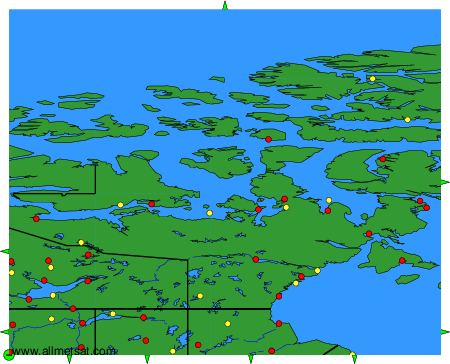
Weather observations and forecasts of more than 4000 airports (METAR and TAF reports).

The available stations are represented by yellow and red dots on the map.

Hover mouse over dot to see the name of the station.

Then click to see weather observations and forecasts.

To change the map : click on the green buttons with a black cross to zoom in, on the green button with a dash to zoom out, or on the green arrows for adjacent maps.


METAR-TAF: