METAR-TAF
Airports :
Amarillo
Abilene
Abilene
Ada
Altus
Altus
Alva
Amarillo
Ardmore-Downtown Executive
Ardmore-Municipal
Arlington
Atoka
Bartlesville
Bentonville
Big Spring
Borger
Bridgeport
Canadian
Chandler
Chanute
Childress
Claremore
Cleburne
Clinton
Clinton / Burns Flat
Coffeyville
Corsicana
Cushing
Dallas / Addison
Dallas-Executive
Dallas / Fort Worth
Dallas Love Field
Decatur
Denton
De Queen
Dodge City
Dumas
Duncan
Durant
El Dorado
Elkhart
Emporia
Enid
Fayetteville
Fort Sill
Fort Smith
Fort Worth-Alliance
Fort Worth-Meacham
Fort Worth-Spinks
Frederick
Gage
Gainesville
Garden City
Gilmer
Graham
Granbury
Grand Prairie
Great Bend
Greenville
Grove
Guthrie
Guymon
Hillsboro
Hobart
Hugo
Hugoton
Hutchinson
Independence
Joplin
Lancaster
Lawton
Liberal
Longview
Lubbock
Marshall
McAlester
McKinney
Medicine Lodge
Mesquite
Midland Airpark
Midlothian / Waxahachie
Mineola / Quitman
Mineral Wells
Mount Pleasant
Muskogee
NAS Fort Worth JRB
Newton
Norman
Oklahoma City
Oklahoma City-Tinker
Oklahoma City-Wiley Post
Oklahoma City-Will Rogers
Okmulgee
Pampa
Paris
Parsons
Pauls Valley
Perryton
Pittsburg
Plainview
Ponca City
Poteau
Pratt
Sallisaw
Shawnee
Sherman / Denison
Siloam Springs
Snyder
Stanton County
Stephenville
Stigler
Stillwater
Sulphur Springs
Sweetwater
Tahlequah
Terrell
Tulsa
Tulsa
Tyler
Vance Air Force Base
Vernon
Watonga
Weatherford
Wichita
Wichita
Wichita
Wichita Falls
Winfield / Arkansas City
Woodward
Oklahoma
Arkansas
Colorado
Kansas
Louisiana
Missouri
New Mexico
North America
Texas, East
Texas, West
Rick Husband Amarillo International Airport Amarillo, Texas, United States
latitude: 35-13-12N, longitude: 101-43-02W, elevation: 3605 ft
Current weather observation The report was made 25 minutes ago, at 01:53 UTC
Wind 9 mph from the Northeast
Temperature 86 °F
Humidity 33 %
Pressure 30.12 in. Hg
Visibility: 10 miles
Scattered clouds at a height of 12000 ft
METAR: KAMA 010153Z 05008KT 10SM SCT120 30/12 A3012 RMK AO2 SLP138 T03000117
Time: 21:18 (02:18 UTC) Forecast The report was made 2 hours and 58 minutes ago, at 23:20 UTC
Forecast valid from 01 at 00 UTC to 01 at 24 UTC
Wind 17 mph from the North/Northeast
Visibility: 6 miles
Few clouds at a height of 10000 ft
From 01 at 0200 UTC
Wind 8 mph from the North/Northwest
Visibility: 6 miles
Scattered clouds at a height of 10000 ft
From 01 at 1400 UTC
Wind 9 mph from the Northeast
Visibility: 6 miles
Few clouds at a height of 25000 ft
TAF: KAMA 312320Z 0100/0124 03015KT P6SM FEW100 FM010200 34007KT P6SM SCT100 FM011400 05008KT P6SM FEW250
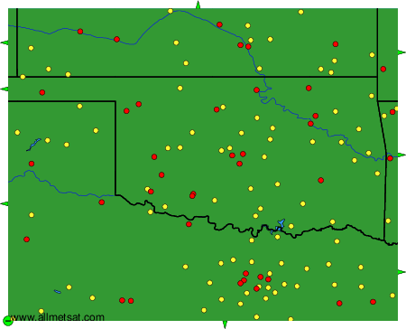
Weather observations and forecasts of more than 4000 airports (METAR and TAF reports).
The available stations are represented by yellow and red dots on the map.
Hover mouse over dot to see the name of the station.
Then click to see weather observations and forecasts.
To change the map : click on the green buttons with a black cross to zoom in, on the green button with a dash to zoom out, or on the green arrows for adjacent maps.