METAR-TAF
Airports :
Lubbock Preston Smith International Airport
Lubbock, Texas, United States
latitude: 33-40-03N, longitude: 101-49-17W, elevation: 3280 ft
Current weather observation
The report was made 1 hour and 4 minutes ago, at 00:53 UTC
Wind 7 mph from the South/Southeast
Temperature 90°F
Humidity 29%
Pressure 30.06 in. Hg
Visibility: 10 miles
Few clouds at a height of 9000 ft
Few clouds at a height of 25000 ft
Few clouds at a height of 25000 ft
METAR: KLBB 020053Z 16006KT 10SM FEW090 FEW250 32/12 A3006 RMK AO2 SLP123 T03170122 $
Time: 20:57 (01:57 UTC)
Forecast
The report was made 2 hours and 37 minutes ago, at 23:20 UTC
Forecast valid from 02 at 00 UTC to 02 at 24 UTC
Wind 9 mph from the East
Visibility: 6 miles
Few clouds at a height of 8000 ft
Few clouds at a height of 25000 ft
Few clouds at a height of 25000 ft
From 02 at 0600 UTC
Wind 6 mph from variable directions
Visibility: 6 miles
TAF: KLBB 012320Z 0200/0224 10008KT P6SM FEW080 FEW250 FM020600 VRB05KT P6SM SKC
Weather observations and forecasts of more than 4000 airports (METAR and TAF reports).
The available stations are represented by yellow and red dots on the map.
Hover mouse over dot to see the name of the station.
Then click to see weather observations and forecasts.
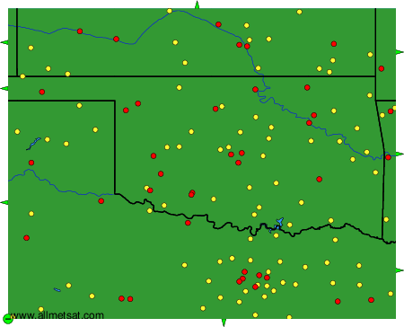
To change the map : click on the green buttons with a black cross to zoom in, on the green button with a dash to zoom out, or on the green arrows for adjacent maps.