METAR-TAF
Airports :
Shreveport Regional Airport
Shreveport, Louisiana, United States
latitude: 32-26-49N, longitude: 093-49-27W, elevation: 256 ft
Current weather observation
The report was made 35 minutes ago, at 08:56 UTC
Wind 7 mph from the South/Southwest
Temperature 79°F
Humidity 79%
Pressure 29.86 in. Hg
Visibility: 10 miles
Clear sky
METAR: KSHV 280856Z 21006KT 10SM CLR 26/22 A2986 RMK SLPNO
Time: 04:31 (09:31 UTC)
Forecast
The report was made 4 hours and 11 minutes ago, at 05:20 UTC
Forecast valid from 28 at 06 UTC to 29 at 06 UTC
Wind 5 mph from the South/Southwest
Visibility: 6 miles
Clear sky
From 28 at 1500 UTC
Wind 12 mph from the West/Southwest
Visibility: 6 miles
Scattered clouds at a height of 3500 ft
From 28 at 1900 UTC
Wind 9 mph from the Southwest
Visibility: 6 miles
Scattered clouds at a height of 5000 ft
From 29 at 0000 UTC
Wind 6 mph from the South/Southwest
Visibility: 6 miles
Few clouds at a height of 25000 ft
TAF: KSHV 280520Z 2806/2906 21004KT P6SM SKC FM281500 25010KT P6SM SCT035 FM281900 23008KT P6SM SCT050 FM290000 20005KT P6SM FEW250
Weather observations and forecasts of more than 4000 airports (METAR and TAF reports).
The available stations are represented by yellow and red dots on the map.
Hover mouse over dot to see the name of the station.
Then click to see weather observations and forecasts.
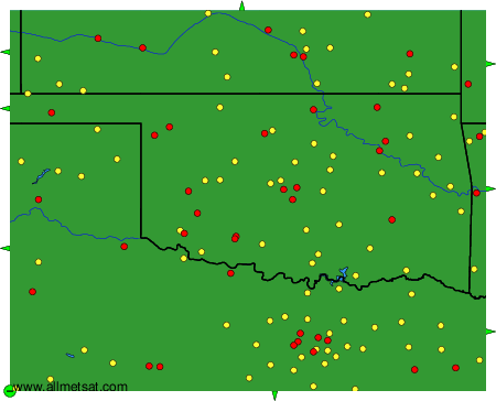
To change the map : click on the green buttons with a black cross to zoom in, on the green button with a dash to zoom out, or on the green arrows for adjacent maps.