METAR-TAF
Airports :
Bahrain International Airport
Bahrain, Bahrain
latitude: 26-16N, longitude: 050-39E, elevation: 2 m
Current weather observation
The report was made 19 minutes ago, at 21:00 UTC
Wind 3 kt from the Southeast, varying between East/Southeast and South
Temperature 33°C
Humidity 67%
Pressure 997 hPa
Visibility 10 km or more
no clouds below 1500 m and no cumulonimbus
METAR: OBBI 282100Z 14003KT 110V170 CAVOK 33/26 Q0997 NOSIG
Time: 00:19 (21:19 UTC)
Forecast
The report was made 4 hours and 19 minutes ago, at 17:00 UTC
Forecast valid from 28 at 18 UTC to 30 at 00 UTC
Wind 5 kt from variable directions
TAF: OBBI 281700Z 2818/3000 VRB05KT CAVOK
Weather observations and forecasts of more than 4000 airports (METAR and TAF reports).
The available stations are represented by yellow and red dots on the map.
Hover mouse over dot to see the name of the station.
Then click to see weather observations and forecasts.
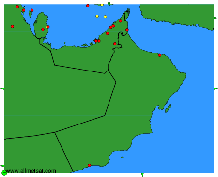
To change the map : click on the green buttons with a black cross to zoom in, on the green button with a dash to zoom out, or on the green arrows for adjacent maps.