METAR-TAF
Airports :
Salalah International Airport
Salalah, Oman
latitude: 17-02N, longitude: 054-05E, elevation: 20 m
Current weather observation
The report was made 34 minutes ago, at 10:50 UTC
Wind 8 kt from the South/Southeast
Temperature 27°C
Humidity 84%
Pressure 1004 hPa
Visibility: 8000 m
Scattered clouds at a height of 1400 ft
Overcast at a height of 2500 ft
Overcast at a height of 2500 ft
METAR: OOSA 291050Z 16008KT 8000 SCT014 OVC025 27/24 Q1004 REDZ NOSIG
Time: 15:24 (11:24 UTC)
Forecast
The report was made 5 hours and 44 minutes ago, at 05:40 UTC
Forecast valid from 29 at 06 UTC to 30 at 12 UTC
Wind 7 kt from the South
Visibility: 7000 m
Broken clouds at a height of 900 ft
Overcast at a height of 1800 ft
Overcast at a height of 1800 ft
Becoming
from 29 at 23 UTC to 30 at 01 UTC
from 29 at 23 UTC to 30 at 01 UTC
Visibility: 2500 m
Broken clouds at a height of 300 ft
Overcast at a height of 700 ft
Overcast at a height of 700 ft
drizzle
Becoming
from 30 at 05 UTC to 30 at 07 UTC
from 30 at 05 UTC to 30 at 07 UTC
Visibility: 7000 m
Broken clouds at a height of 1000 ft
Overcast at a height of 2000 ft
Overcast at a height of 2000 ft
TAF: OOSA 290540Z 2906/3012 19007KT 7000 BKN009 OVC018 BECMG 2923/3001 2500 DZ BKN003 OVC007 BECMG 3005/3007 7000 BKN010 OVC020
Weather observations and forecasts of more than 4000 airports (METAR and TAF reports).
The available stations are represented by yellow and red dots on the map.
Hover mouse over dot to see the name of the station.
Then click to see weather observations and forecasts.
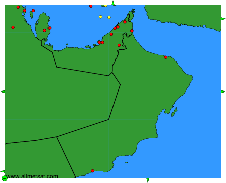
To change the map : click on the green buttons with a black cross to zoom in, on the green button with a dash to zoom out, or on the green arrows for adjacent maps.