METAR-TAF
Airports :
Al Udeid Air Base
Al Udeid, Qatar
latitude: 25-07N, longitude: 051-18E, elevation: 42 m
Current weather observation
METAR: OTBH 201355Z 31017KT 9000 HZ CLR 46/18 A2942 Q0996 RMK AO2A SLP962 T04550117 FZRANO $
Time: 18:14 (15:14 UTC)
Forecast
from 20 at 16 UTC to 20 at 17 UTC
from 21 at 00 UTC to 21 at 01 UTC
from 21 at 05 UTC to 21 at 06 UTC
from 21 at 08 UTC to 21 at 14 UTC
TAF: OTBH 200800Z 2008/2114 34012G20KT 9000 HZ SKC QNH2941INS BECMG 2016/2017 VRB06KT 9000 HZ SKC QNH2946INS BECMG 2100/2101 30010G15KT 9000 HZ SKC QNH2949INS BECMG 2105/2106 32015G25KT 9000 HZ SKC 520006 QNH2946INS TEMPO 2108/2114 34020G30KT TX46/2012Z TN31/2102Z
Weather observations and forecasts of more than 4000 airports (METAR and TAF reports).
The available stations are represented by yellow and red dots on the map.
Hover mouse over dot to see the name of the station.
Then click to see weather observations and forecasts.
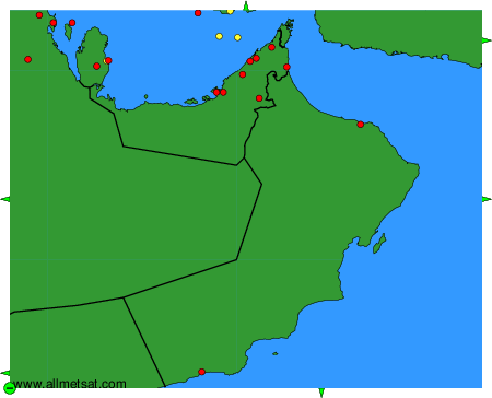
To change the map : click on the green buttons with a black cross to zoom in, on the green button with a dash to zoom out, or on the green arrows for adjacent maps.