METAR-TAF
Airports :
Hamad International Airport
Doha, Qatar
latitude: 25-16-23N, longitude: 51-36-29E, elevation: 4 m
Current weather observation
The report was made 1 hour and 3 minutes ago, at 17:00 UTC
Wind 8 kt from the North/Northeast
Temperature 33°C
Humidity 59%
Pressure 1004 hPa
Visibility 10 km or more
no clouds below 1500 m and no cumulonimbus
METAR: OTHH 201700Z 02008KT CAVOK 33/24 Q1004 NOSIG
Time: 21:03 (18:03 UTC)
Forecast
The report was made 7 hours and 2 minutes ago, at 11:01 UTC
Forecast valid from 20 at 12 UTC to 21 at 18 UTC
Wind 8 kt from the East/Northeast
Visibility 10 km or more
no clouds below 1500 m and no cumulonimbus
Temporary
from 20 at 17 UTC to 20 at 23 UTC
from 20 at 17 UTC to 20 at 23 UTC
Wind 2 kt from variable directions
Becoming
from 20 at 18 UTC to 20 at 20 UTC
from 20 at 18 UTC to 20 at 20 UTC
Wind 5 kt from the North
Temporary
from 20 at 20 UTC to 21 at 03 UTC
from 20 at 20 UTC to 21 at 03 UTC
Wind 5 kt from the West/Northwest
TAF: OTHH 201101Z 2012/2118 06008KT CAVOK TEMPO 2017/2023 VRB02KT BECMG 2018/2020 35005KT TEMPO 2020/2103 29005KT
Weather observations and forecasts of more than 4000 airports (METAR and TAF reports).
The available stations are represented by yellow and red dots on the map.
Hover mouse over dot to see the name of the station.
Then click to see weather observations and forecasts.
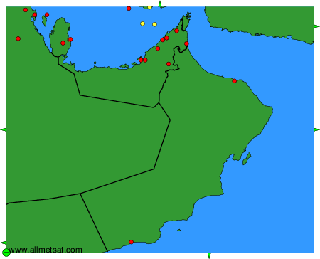
To change the map : click on the green buttons with a black cross to zoom in, on the green button with a dash to zoom out, or on the green arrows for adjacent maps.