METAR: CYOO 030323Z AUTO 01017G25KT 6SM RA BR FEW055 SCT071 BKN089 OVC110 17/17 A2965 RMK PRESFR PCPN 1.8MM PAST HR SLP042 DENSITY ALT 1200FT
Time: 23:43 (03:43 UTC)
Forecast
The report was made 2 hours and 3 minutes ago, at 01:40 UTC
Forecast valid from 03 at 02 UTC to 03 at 14 UTC
Wind 14 mph from the North/Northeast with gusts up to 25 mph
Visibility: 6 miles
Scattered clouds at a height of 1500 ft Overcast at a height of 2500 ft
light rain showers
Temporary from 03 at 02 UTC to 03 at 04 UTC
Visibility: 4 miles
Broken clouds at a height of 800 ft Overcast at a height of 1500 ft
rain showers, mist
From 03 at 0400 UTC
Wind 14 mph from the North/Northeast with gusts up to 25 mph
Visibility: 6 miles
Broken clouds at a height of 2500 ft Overcast at a height of 6000 ft
light rain showers
Temporary from 03 at 04 UTC to 03 at 09 UTC
Visibility: 5 miles
Broken clouds at a height of 1500 ft Overcast at a height of 6000 ft
light rain showers, mist
Becoming from 03 at 06 UTC to 03 at 08 UTC
Wind 14 mph from the North/Northwest with gusts up to 25 mph
From 03 at 0900 UTC
Wind 14 mph from the North/Northwest with gusts up to 25 mph
Visibility: 6 miles
Scattered clouds at a height of 1500 ft Overcast at a height of 10000 ft
Temporary from 03 at 09 UTC to 03 at 11 UTC
Visibility: 6 miles
Broken clouds at a height of 1500 ft Overcast at a height of 10000 ft
light rain showers
From 03 at 1200 UTC
Wind 14 mph from the North/Northwest with gusts up to 25 mph
Visibility: 6 miles
Scattered clouds at a height of 2000 ft
TAF: CYOO 030140Z 0302/0314 02012G22KT P6SM -SHRA SCT015 OVC025 TEMPO 0302/0304 4SM SHRA BR BKN008 OVC015 FM030400 02012G22KT P6SM -SHRA BKN025 OVC060 TEMPO 0304/0309 5SM -SHRA BR BKN015 OVC060 BECMG 0306/0308 34012G22KT FM030900 34012G22KT P6SM SCT015 OVC100 TEMPO 0309/0311 P6SM -SHRA BKN015 OVC100 FM031200 34012G22KT P6SM SCT020 RMK FCST BASED ON AUTO OBS. NXT FCST BY 030800Z
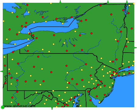
Weather observations and forecasts of more than 4000 airports (METAR and TAF reports).
The available stations are represented by yellow and red dots on the map.
Hover mouse over dot to see the name of the station.
Then click to see weather observations and forecasts.
To change the map : click on the green buttons with a black cross to zoom in, on the green button with a dash to zoom out, or on the green arrows for adjacent maps.