METAR-TAF
Airports :
Subic Bay International Airport
Subic Bay, Philippines
latitude: 14-48N, longitude: 120-16E, elevation: 18 m
Current weather observation
The report was made 30 minutes ago, at 15:00 UTC
Wind 4 kt from the East/Northeast
Temperature 26°C
Humidity 84%
Pressure 1013 hPa
Visibility 10 km or more
Scattered clouds at a height of 2000 ft
METAR: RPLB 031500Z 06004KT 9999 SCT020 26/23 Q1013 NOSIG RMK A2991
Time: 23:30 (15:30 UTC)
Forecast
The report was made 4 hours and 30 minutes ago, at 11:00 UTC
Forecast valid from 03 at 12 UTC to 04 at 12 UTC
Wind 12 kt from the East
Visibility 10 km or more
Few clouds at a height of 2000 ft
Temporary
from 03 at 12 UTC to 03 at 18 UTC
from 03 at 12 UTC to 03 at 18 UTC
Wind 7 kt from the East/Northeast
Few clouds at a height of 2000 ft
Broken clouds at a height of 8000 ft
Broken clouds at a height of 8000 ft
TAF: RPLB 031100Z 0312/0412 08012KT 9999 FEW020 TX33/0405Z TN24/0321Z TEMPO 0312/0318 07007KT FEW020 BKN080
Weather observations and forecasts of more than 4000 airports (METAR and TAF reports).
The available stations are represented by yellow and red dots on the map.
Hover mouse over dot to see the name of the station.
Then click to see weather observations and forecasts.
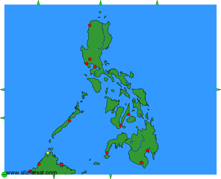
To change the map : click on the green buttons with a black cross to zoom in, on the green button with a dash to zoom out, or on the green arrows for adjacent maps.