METAR-TAF
Airports :
Ninoy Aquino International Airport
Manila, Philippines
latitude: 14-31N, longitude: 121-00E, elevation: 14 m
Current weather observation
METAR: RPLL 220800Z 26014KT 9000 SCT025 33/27 Q1004 NOSIG RMK A2965
Time: 16:39 (08:39 UTC)
Forecast
Scattered clouds at a height of 10000 ft
from 22 at 06 UTC to 22 at 12 UTC
Scattered clouds at a height of 2500 ft
Broken clouds at a height of 9000 ft
from 22 at 12 UTC to 22 at 14 UTC
from 22 at 15 UTC to 22 at 21 UTC
Scattered clouds at a height of 2500 ft
Broken clouds at a height of 9000 ft
from 23 at 01 UTC to 23 at 03 UTC
TAF: RPLL 220500Z 2206/2312 28008KT 9999 FEW025 SCT100 TX34/2206Z TN28/2221Z TEMPO 2206/2212 -SHRA FEW023CB SCT025 BKN090 BECMG 2212/2214 VRB03KT TEMPO 2215/2221 FEW023CB SCT025 BKN090 BECMG 2301/2303 27008KT
Weather observations and forecasts of more than 4000 airports (METAR and TAF reports).
The available stations are represented by yellow and red dots on the map.
Hover mouse over dot to see the name of the station.
Then click to see weather observations and forecasts.
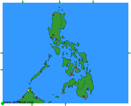
To change the map : click on the green buttons with a black cross to zoom in, on the green button with a dash to zoom out, or on the green arrows for adjacent maps.