METAR-TAF
Airports :
Puerto Princesa International Airport
Puerto Princesa, Philippines
latitude: 09-44-32N, longitude: 118-45-31E, elevation: 22 m
Current weather observation
The report was made 25 minutes ago, at 10:00 UTC
Wind 12 kt from the East/Northeast
Temperature 29°C
Humidity 74%
Pressure 1009 hPa
Visibility 10 km or more
Few clouds at a height of 1900 ft
Scattered clouds at a height of 25000 ft
Scattered clouds at a height of 25000 ft
METAR: RPVP 031000Z 06012KT 9999 FEW019 SCT250 29/24 Q1009 RMK A2980
Time: 18:25 (10:25 UTC)
Forecast
The report was made 5 hours and 25 minutes ago, at 05:00 UTC
Forecast valid from 03 at 06 UTC to 04 at 06 UTC
Wind 10 kt from the East
Visibility 10 km or more
Few clouds at a height of 1900 ft
Temporary
from 03 at 15 UTC to 03 at 21 UTC
from 03 at 15 UTC to 03 at 21 UTC
Wind 4 kt from the West
TAF: RPVP 030500Z 0306/0406 09010KT 9999 FEW019 TEMPO 0315/0321 27004KT
Weather observations and forecasts of more than 4000 airports (METAR and TAF reports).
The available stations are represented by yellow and red dots on the map.
Hover mouse over dot to see the name of the station.
Then click to see weather observations and forecasts.
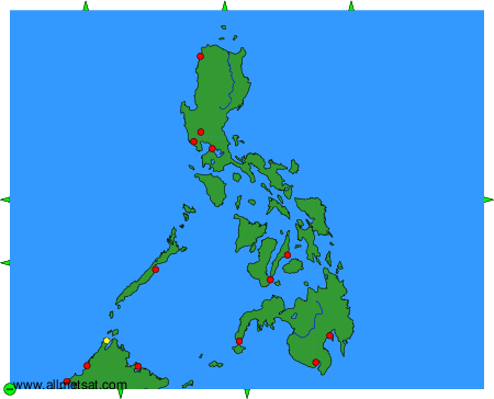
To change the map : click on the green buttons with a black cross to zoom in, on the green button with a dash to zoom out, or on the green arrows for adjacent maps.