METAR-TAF
Airports :
Sandakan Airport
Sandakan, Malaysia
latitude: 05-54N, longitude: 118-04E, elevation: 12 m
Current weather observation
The report was made 30 minutes ago, at 18:00 UTC
Wind 3 kt from the Southeast
Temperature 28°C
Humidity 84%
Pressure 1009 hPa
Visibility 10 km or more
Few clouds at a height of 1600 ft
METAR: WBKS 201800Z 14003KT 9999 FEW016 28/25 Q1009
Time: 02:30 (18:30 UTC)
Forecast
The report was made 1 hour and 30 minutes ago, at 17:00 UTC
Forecast valid from 20 at 18 UTC to 21 at 18 UTC
Wind 3 kt from variable directions
Visibility 10 km or more
Few clouds at a height of 1600 ft
Becoming
from 21 at 02 UTC to 21 at 04 UTC
from 21 at 02 UTC to 21 at 04 UTC
Wind 8 kt from the East/Northeast
TAF: WBKS 201700Z 2018/2118 VRB03KT 9999 FEW016 BECMG 2102/2104 07008KT
Weather observations and forecasts of more than 4000 airports (METAR and TAF reports).
The available stations are represented by yellow and red dots on the map.
Hover mouse over dot to see the name of the station.
Then click to see weather observations and forecasts.
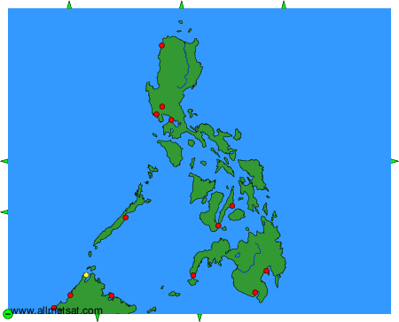
To change the map : click on the green buttons with a black cross to zoom in, on the green button with a dash to zoom out, or on the green arrows for adjacent maps.