METAR-TAF
Airports :
V. C. Bird International Airport
Antigua, Antigua and Barbuda
latitude: 17-07N, longitude: 061-47W, elevation: 8 m
Current weather observation
The report was made 1 hour and 17 minutes ago, at 17:00 UTC
Wind 12 kt from the East, varying between Northeast and South/Southeast
Temperature 29°C
Humidity 66%
Pressure 1017 hPa
Visibility 10 km or more
Scattered clouds at a height of 2000 ft
METAR: TAPA 121700Z 09012KT 050V150 9999 SCT020 29/22 Q1017 NOSIG
Time: 14:17 (18:17 UTC)
Forecast
The report was made 1 hour and 17 minutes ago, at 17:00 UTC
Forecast valid from 12 at 18 UTC to 13 at 18 UTC
Wind 10 kt from the East
Visibility 10 km or more
Scattered clouds at a height of 1800 ft
Probability 30% :
Temporary
from 13 at 00 UTC to 13 at 12 UTC
from 13 at 00 UTC to 13 at 12 UTC
Wind 15 kt from the East with gusts up to 25 kt
rain showers,
TAF: TAPA 121700Z 1218/1318 10010KT 9999 SCT018 PROB30 TEMPO 1300/1312 10015G25KT SHRA
Weather observations and forecasts of more than 4000 airports (METAR and TAF reports).
The available stations are represented by yellow and red dots on the map.
Hover mouse over dot to see the name of the station.
Then click to see weather observations and forecasts.
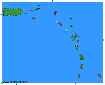
To change the map : click on the green buttons with a black cross to zoom in, on the green button with a dash to zoom out, or on the green arrows for adjacent maps.