METAR-TAF
Airports :
Douglas–Charles Airport
Marigot, Dominica
latitude: 15-32N, longitude: 061-18W, elevation: 13 m
Current weather observation
The report was made 47 minutes ago, at 18:00 UTC
Wind 7 kt from the East
Temperature 28°C
Humidity 74%
Pressure 1013 hPa
Visibility 10 km or more
Scattered clouds at a height of 2100 ft
Scattered clouds at a height of 3500 ft
Scattered clouds at a height of 3500 ft
METAR: TDPD 231800Z 10007KT 9999 SCT021 SCT035 28/23 Q1013
Time: 14:47 (18:47 UTC)
Forecast
The report was made 1 hour and 47 minutes ago, at 17:00 UTC
Forecast valid from 23 at 18 UTC to 24 at 18 UTC
Wind 10 kt from the East/Southeast
Visibility 10 km or more
Scattered clouds at a height of 1800 ft
Probability 30% :
Temporary
from 23 at 18 UTC to 23 at 24 UTC
from 23 at 18 UTC to 23 at 24 UTC
Broken clouds at a height of 1500 ft
TAF: TDPD 231700Z 2318/2418 11010KT 9999 SCT018 PROB30 TEMPO 2318/2324 BKN015
Weather observations and forecasts of more than 4000 airports (METAR and TAF reports).
The available stations are represented by yellow and red dots on the map.
Hover mouse over dot to see the name of the station.
Then click to see weather observations and forecasts.
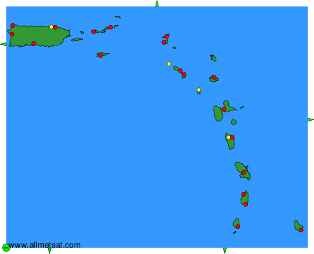
To change the map : click on the green buttons with a black cross to zoom in, on the green button with a dash to zoom out, or on the green arrows for adjacent maps.