METAR-TAF
Airports :
Pointe-à-Pitre International Airport
Pointe-à-Pitre, Guadeloupe
latitude: 16-16N, longitude: 061-31W, elevation: 11 m
Current weather observation
METAR: TFFR 311030Z AUTO 08004KT 9999 FEW026 26/24 Q1016 TEMPO 4000 SHRA BKN020TCU
Time: 06:42 (10:42 UTC)
Forecast
from 31 at 11 UTC to 31 at 15 UTC
from 31 at 13 UTC to 31 at 15 UTC
from 31 at 21 UTC to 01 at 06 UTC
Broken clouds at a height of 2000 ft, Towering cumulus.
from 01 at 01 UTC to 01 at 03 UTC
TAF: TFFR 310500Z 3106/0106 09005KT 9999 SCT026 PROB30 TEMPO 3111/3115 4000 SHRA BKN020TCU BECMG 3113/3115 10015KT PROB30 TEMPO 3121/0106 4000 SHRA FEW018CB BKN020TCU BECMG 0101/0103 VRB02KT
Weather observations and forecasts of more than 4000 airports (METAR and TAF reports).
The available stations are represented by yellow and red dots on the map.
Hover mouse over dot to see the name of the station.
Then click to see weather observations and forecasts.
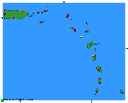
To change the map : click on the green buttons with a black cross to zoom in, on the green button with a dash to zoom out, or on the green arrows for adjacent maps.