METAR-TAF
Airports :
Luis Muñoz Marín International Airport
San Juan, Puerto Rico, United States
latitude: 18-27N, longitude: 066-00W, elevation: 3 m
Current weather observation
The report was made 14 minutes ago, at 12:56 UTC
Wind 9 kt from the East/Northeast
Temperature 29°C
Humidity 70%
Pressure 1019 hPa
Visibility: 14.5 km
Few clouds at a height of 2400 ft
Scattered clouds at a height of 3300 ft
Scattered clouds at a height of 4100 ft
Scattered clouds at a height of 3300 ft
Scattered clouds at a height of 4100 ft
METAR: TJSJ 201256Z 07009KT 9SM FEW024 SCT033 SCT041 29/23 A3010 RMK AO2 SLP190 HZ ALQDS T02890228 $
Time: 09:10 (13:10 UTC)
Forecast
The report was made 1 hour and 50 minutes ago, at 11:20 UTC
Forecast valid from 20 at 12 UTC to 21 at 12 UTC
Wind 8 kt from the East
Visibility: 9.7 km
Few clouds at a height of 2500 ft
haze
From 20 at 1400 UTC
Wind 18 kt from the East/Northeast with gusts up to 28 kt
Visibility: 9.7 km
Few clouds at a height of 2500 ft
haze
From 20 at 2200 UTC
Wind 12 kt from the East
Visibility: 9.7 km
Few clouds at a height of 3000 ft
haze
TAF: TJSJ 201120Z 2012/2112 09008KT 6SM HZ FEW025 FM201400 07018G28KT 6SM HZ FEW025 FM202200 09012KT 6SM HZ FEW030
Weather observations and forecasts of more than 4000 airports (METAR and TAF reports).
The available stations are represented by yellow and red dots on the map.
Hover mouse over dot to see the name of the station.
Then click to see weather observations and forecasts.
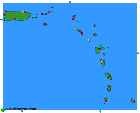
To change the map : click on the green buttons with a black cross to zoom in, on the green button with a dash to zoom out, or on the green arrows for adjacent maps.